Molly Stark Byway: The Ultimate Southern Vermont Scenic Drive (Route 9)
Wondering how to experience the best of Southern Vermont without spending days in the car?
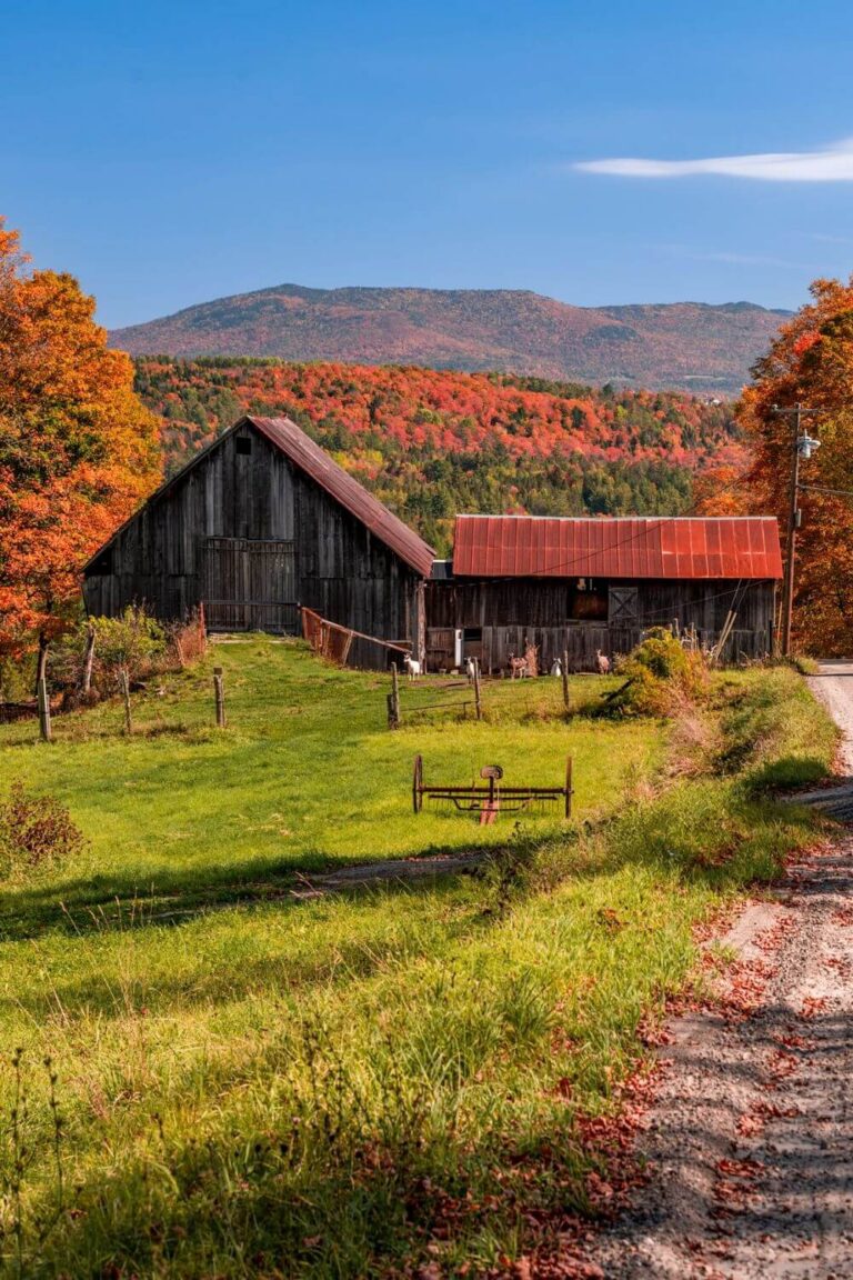
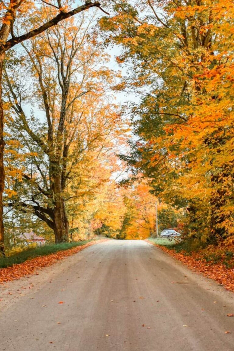
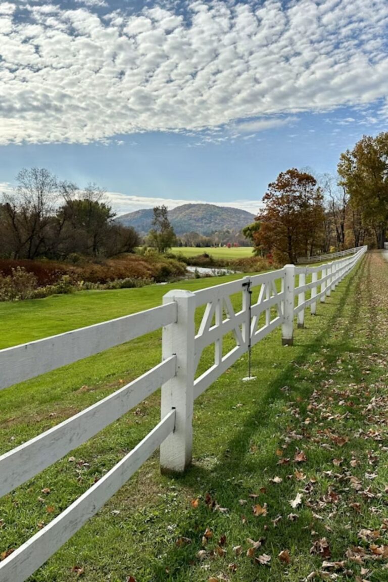
This 48-mile mountain drive feels like it was tailor-made for road trips, especially when autumn blankets the Green Mountains in fiery reds, oranges, and golds.
Route 9—officially known as the Molly Stark Byway—cuts straight east-to-west across the bottom of the state, connecting the lively riverfront town of Brattleboro with historic Bennington near the New York border.
In this guide, I will walk you through the best stops along the Molly Stark Byway, from classic red covered bridges and a famous 100-mile viewpoint to peaceful mountain lakes and storybook villages.
Whether you are visiting for a scenic weekend getaway or crossing the state on a longer New England road trip, you will find plenty of reasons to slow down and savor this classic byway.
Quick Travel Planning Tips for Route 9
Heading down to Southern Vermont this season? Here are a few quick tips and resources to help you plan your drive:
- Where to Stay: Check into the historic Wilmington Inn right in the center of the byway, or relax at The Four Chimneys Inn in Old Bennington.
- Peak Foliage Window: Leaves along the higher mountain passes in Woodford peak early, usually between late September and the first week of October. Lower elevations in Brattleboro and Bennington reach their best colors closer to mid-October.
- Driving Time: The drive itself takes roughly 1.5 hours without stops, but plan for 4 to 6 hours so you can wander through towns, visit farm stands, and take photos.
A Quick Bit of History
The byway is just as rich in history as it is in scenery.
The highway traces the route that General John Stark and his colonial soldiers marched back toward New Hampshire after their decisive victory over the British at the Battle of Bennington in August 1777.
The road was later named after his wife, Elizabeth “Molly” Page Stark, and officially received its Vermont Scenic Byway designation in 2003.
As you drive, keep your eyes open for the small stone obelisks along the roadside shoulder. There are eight markers in total, each commemorating a historic stop or encampment from the Revolutionary era.
1. Downtown Brattleboro & Creamery Covered Bridge
Your road trip begins on the eastern edge of Vermont along the banks of the Connecticut River in Brattleboro.
Unlike traditional white-steeple villages, Brattleboro has a vibrant, industrial riverfront charm. The downtown area is lined with handsome brick storefronts, vintage boutiques, independent bookshops, and cozy coffee spots. It is the perfect place to grab morning pastries and coffee before heading up into the hills.
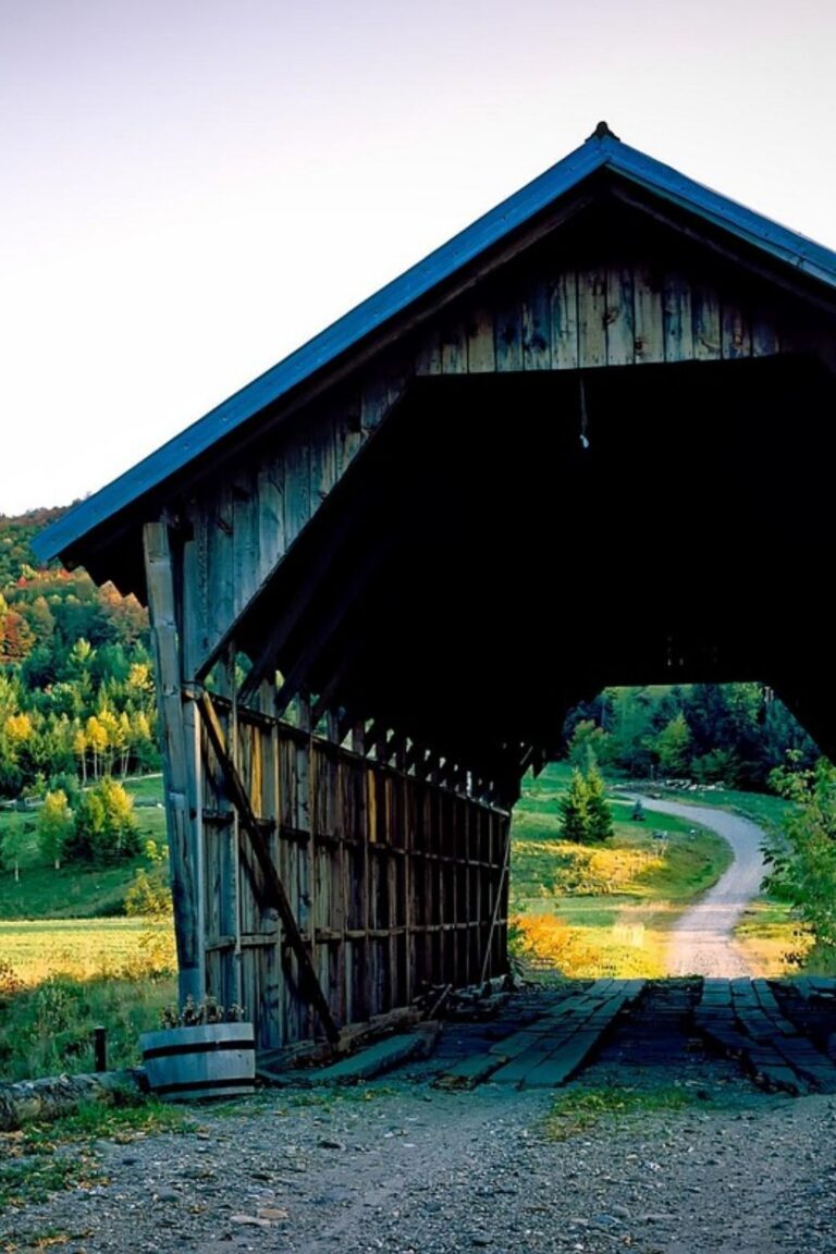
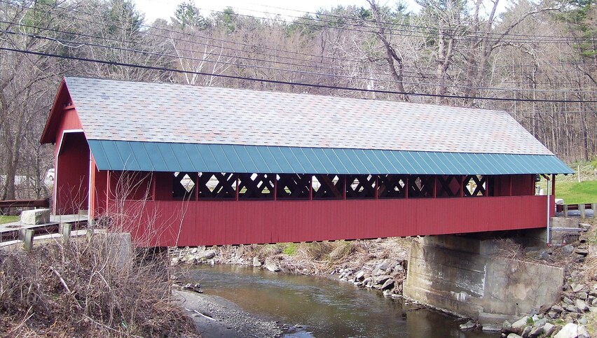
Just on the western edge of town sits the Creamery Covered Bridge, built in 1879. Painted bright barn red, it is one of the easiest historic covered bridges to visit in the southern part of the state.
There is a small dedicated parking turnout right by the bridge where you can hop out, take photos of the lattice woodwork, and walk across the pedestrian walkway.
2. Hogback Mountain & The “100-Mile View” (Marlboro)
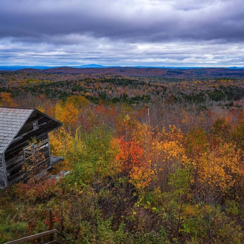
Leaving Brattleboro, Route 9 starts climbing steadily through dense maple and birch forests toward the crest of Hogback Mountain.
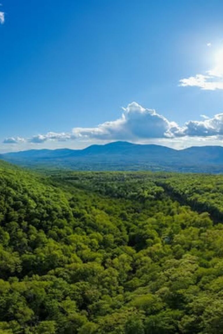
At the top of the ridge, pull into the large paved overlook on the south side of the road. This is the famous 100-Mile View, and on a clear day, the vista is jaw-dropping. Looking out over thousands of acres of preserved forest land, your gaze stretches clear across into Massachusetts and New Hampshire.
The overlook area used to be a small family-operated ski hill that ran for over 40 years before closing in the 1980s. Thanks to local conservation groups, the mountain ridge was saved from commercial development and preserved for everyone to enjoy.
Right beside the overlook parking area, make sure to pop into the Hogback Mountain Country Store. It is packed with local Vermont cheeses, hot cider donuts, and fresh maple syrup.
Just next door, you will also find the Southern Vermont Natural History Museum, which features regional wildlife exhibits and live rescued birds of prey.
3. Wilmington & Harriman Reservoir
Coming down off Hogback Mountain brings you right into Wilmington, a picture-postcard village nestled at the base of the Deerfield Valley.
The village center is very walkable, with Route 9 crossing right over the Deerfield River. Take an hour to park along the street and wander through the small craft galleries, country shops, and casual bakeries.
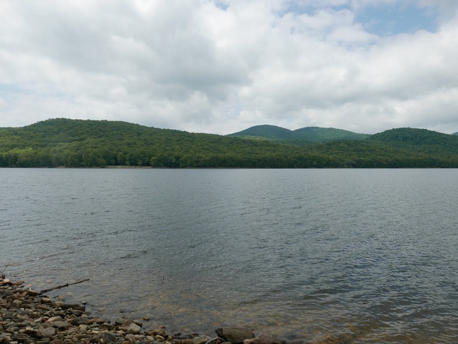
Just two minutes south of the main intersection lies Lake Whitingham (Harriman Reservoir), the largest lake located entirely within Vermont’s borders.
Take a brief detour down to the boat launches or picnic areas along the eastern shoreline. In the fall, the water is glassy and calm, creating picture-perfect reflections of the surrounding foliage-covered hills.
4. Molly Stark State Park & Woodford Notch
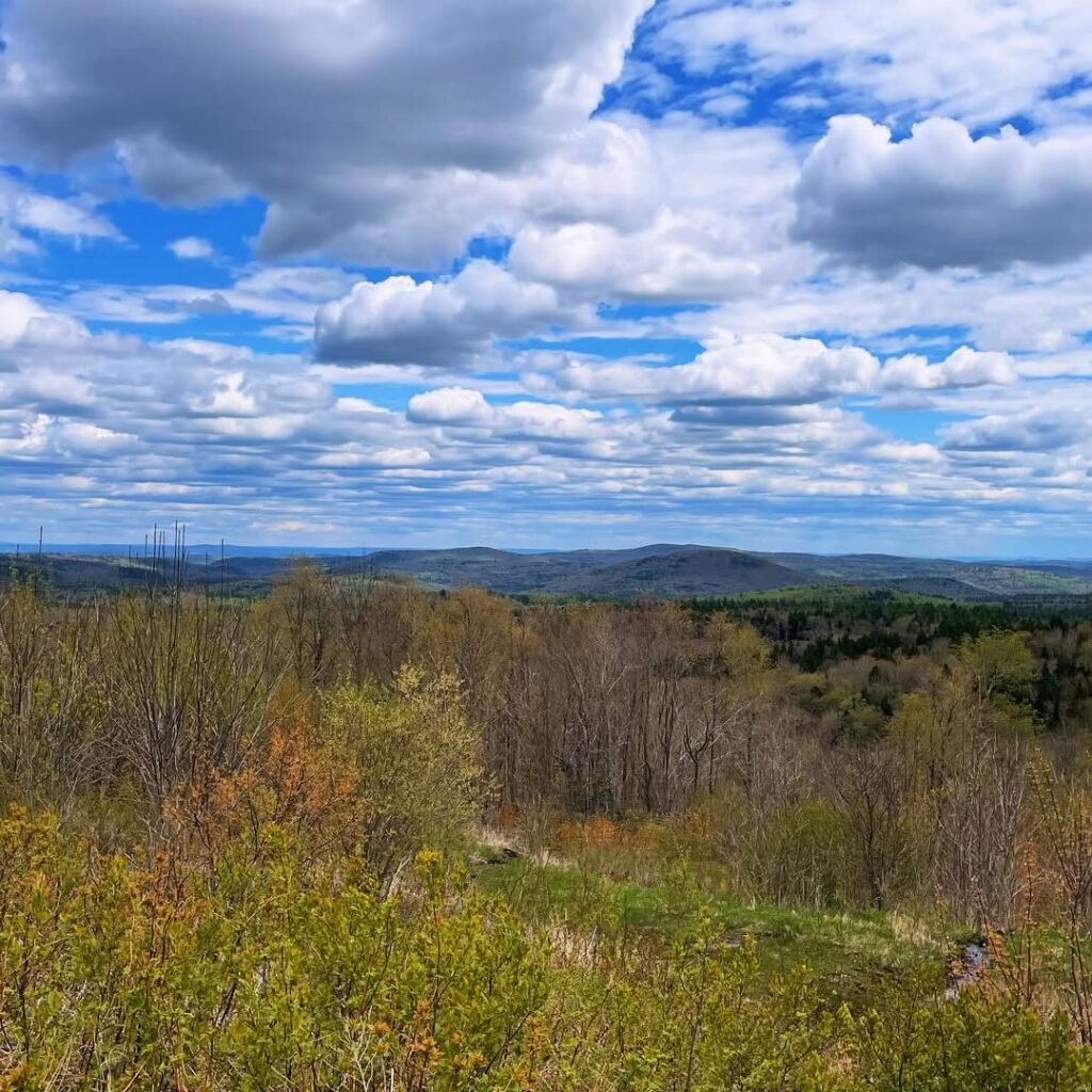
Continuing west from Wilmington, the road begins a steep climb into the highest and wildest stretch of the highway.
The small settlement of Woodford sits at an elevation of 2,215 feet, making it the highest village in Vermont. The air feels cooler up here, and the autumn colors hit their peak brilliance well before the valley floors below.
Molly Stark State Park
Named after the byway’s namesake, this is a wonderful place to stop for a quick hike. The Mt. Olga Trail is a gentle 1.7-mile loop that leads to a historic fire tower offering panoramic views across the southern Green Mountains.
Woodford State Park
Just a few miles down the road, this park surrounds Adams Reservoir inside the Green Mountain National Forest. If you want a peaceful walk without steep climbing, the flat 2.7-mile trail around the water is shaded and quiet.
5. Historic Bennington: Battle Monument & Covered Bridges
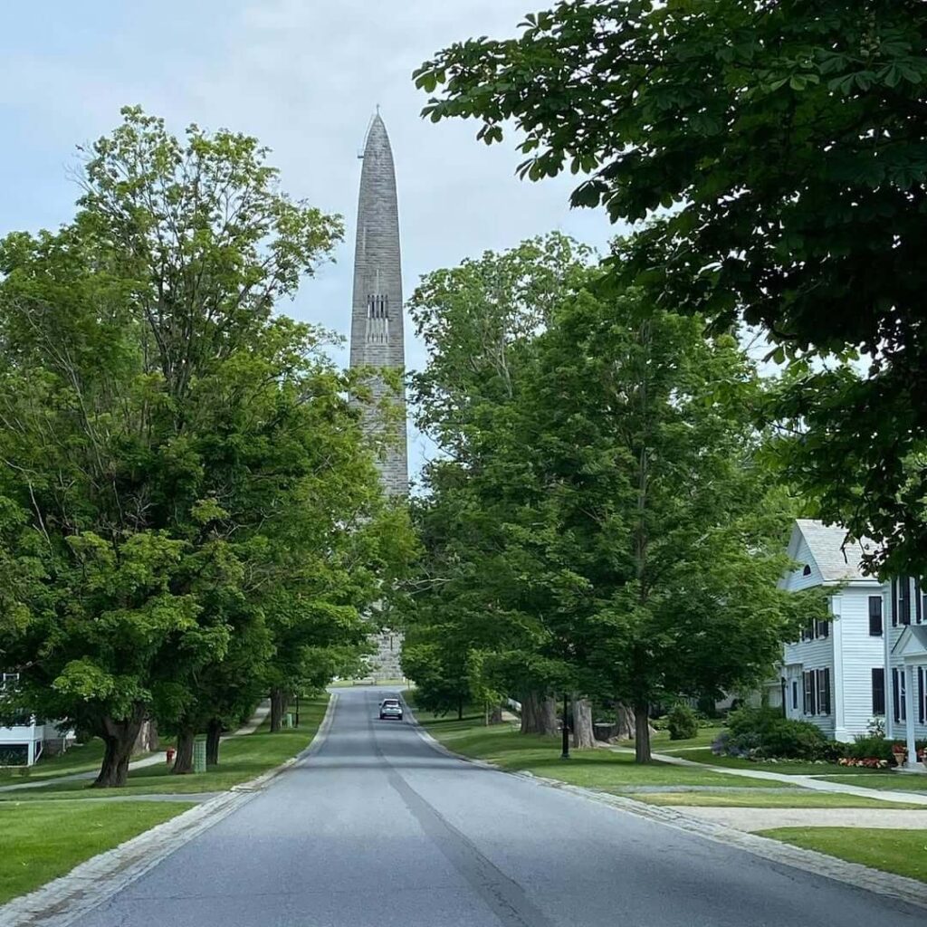
As Route 9 winds down the western mountain slope, you arrive in historic Bennington, the western anchor of the byway.
Bennington is steeped in American Revolutionary history, and you will spot historic landmarks as soon as you enter town.
Bennington Battle Monument
Rising 306 feet into the sky, this massive stone monolith commemorates the August 1777 battle. You can ride an interior elevator straight to the top observation room for panoramic views looking out over the Taconic and Green Mountain ranges.
Old Bennington
Take a slow cruise along Monument Avenue to see classic 18th-century colonial homes and the historic Old First Church, where poet Robert Frost is buried.
Covered Bridges
Bennington is home to three photogenic wooden bridges: the Paper Mill Village Bridge, the Silk Road Covered Bridge, and the Burt Henry Covered Bridge. Each offers lovely photo angles with the river flowing beneath.
Tips for Driving the Molly Stark Byway
- Both Directions Work Equally Well: If you are visiting from Boston, New Hampshire, or Rhode Island, driving east-to-west from Brattleboro works best. If you are arriving from Upstate New York or the Berkshires, starting in Bennington and heading east is just as scenic.
- Use Low Gear on the Descents: The roadway features long, steady downgrades between Woodford and Bennington. Shift your car into low gear to let the engine manage your speed so your brakes do not overheat.
- Download Maps Ahead of Time: Cell phone service often drops out completely as you pass through the Green Mountain National Forest between Marlboro and Woodford. Pre-download your offline maps before leaving town.
- Arrive Early During Peak Weekends: Fall foliage season brings heavy traffic to small crossroads like Wilmington. Getting on the road by 8:30 or 9:00 AM lets you enjoy peaceful viewpoints and easy parking.
Final Thoughts
The Molly Stark Byway proves you do not need to spend weeks behind the wheel to experience the real magic of Vermont.
In just 48 miles, Route 9 manages to pack in multi-state mountain panoramas, historic red covered bridges, peaceful lakes, and timeless colonial villages. Whether you are planning a relaxed day trip or using this scenic byway as your entrance into the Green Mountains, it offers an unforgettable taste of Vermont.
Pack your camera, grab a fresh cider donut along the way, and take your time rolling across Route 9!
FAQs
Why is it called the Molly Stark Byway?
The route honors Elizabeth “Molly” Page Stark, the wife of General John Stark. After leading colonial forces to victory at the Battle of Bennington in 1777, General Stark and his soldiers traveled back east across this mountain pass toward New Hampshire.
How long does it take to drive the Molly Stark Byway?
Driving straight through Route 9 without stopping takes about 1 hour and 15 minutes. However, to enjoy the covered bridges, Hogback Mountain lookout, Wilmington village, and Bennington’s historic sites, budget between 4 and 6 hours.
Is the Molly Stark Byway open during winter?
Yes. Unlike high seasonal gap passes that shut down in late autumn, Route 9 is a primary east-west highway that state crews plow and salt throughout the winter. Make sure to check local weather forecasts during snow events, as high elevations around Woodford can turn wintry quickly.