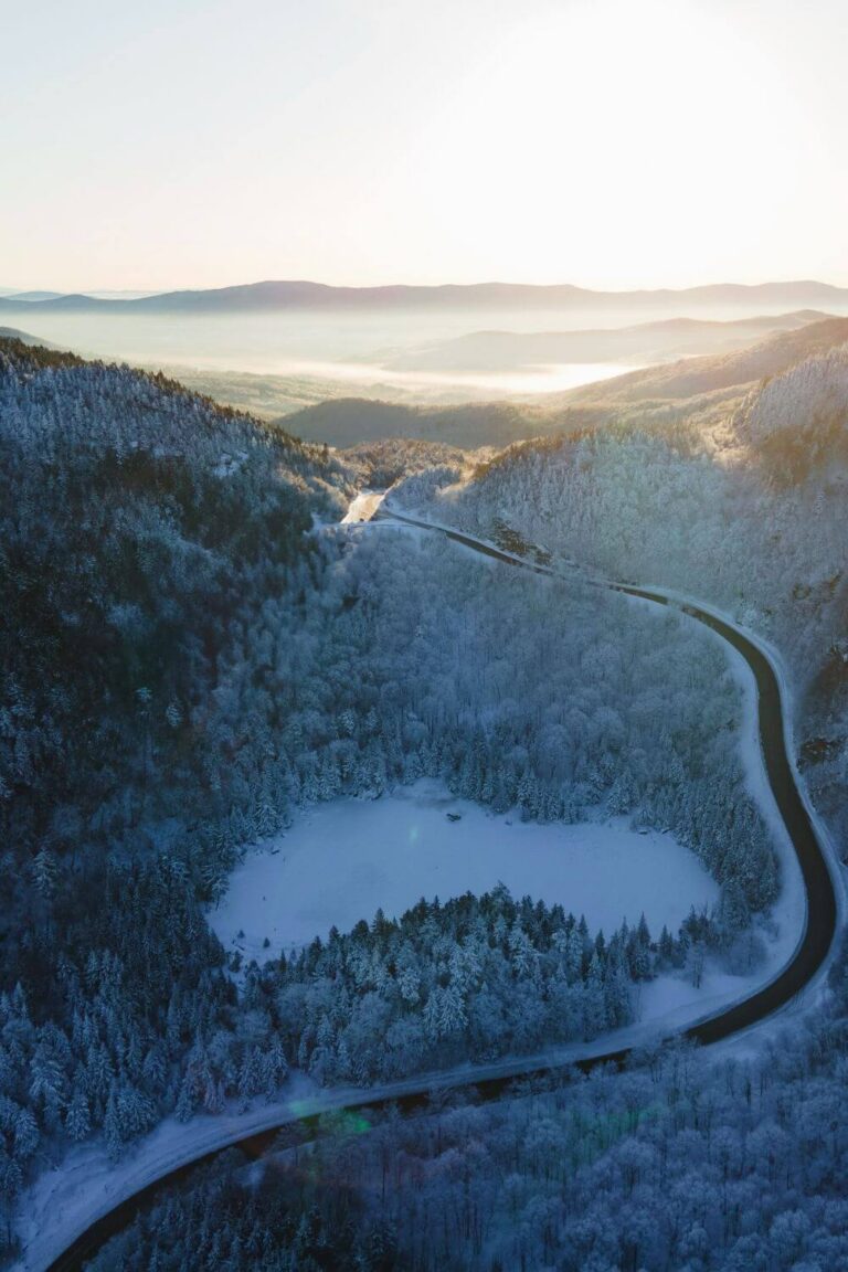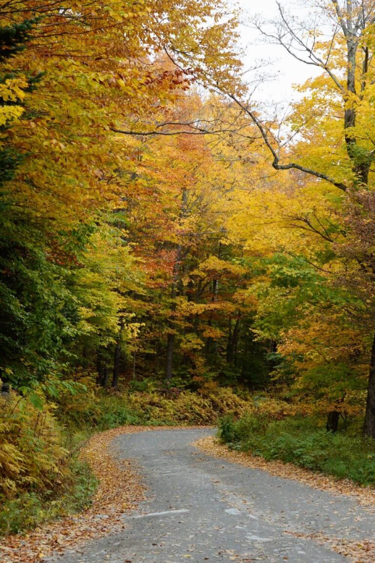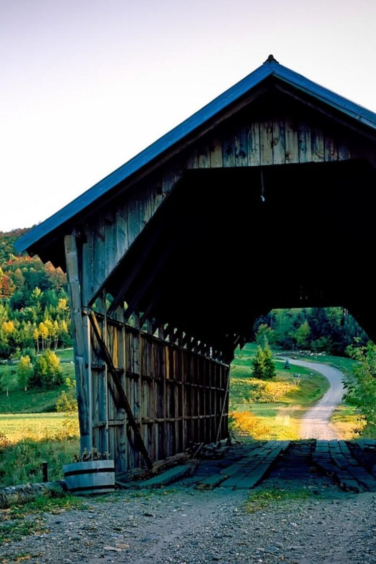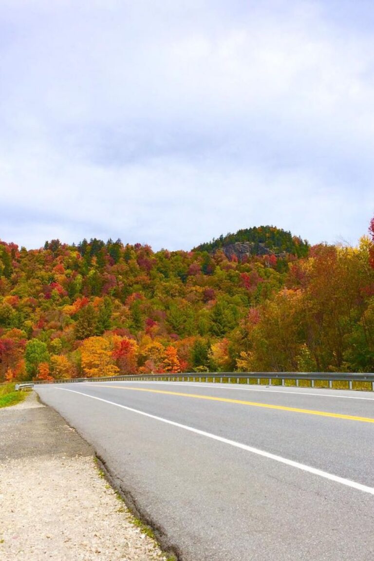
Northeast Kingdom Fall Road Trip: Lake Willoughby & Route 5A
If you want to see Vermont’s fall colors without the heavy crowds of Stowe or Woodstock, head north to the Northeast Kingdom.
Often called the “NEK,” this remote, rural corner covers Vermont’s top northeastern counties.
Because it sits so far north near the Canadian border, the leaves here change first—often hitting full peak color in late September when the rest of the state is still turning.
The star of this region is Lake Willoughby, a massive glacier-carved lake that looks like a fjord surrounded by dramatic cliff faces.
Here is a simple driving guide to exploring the Northeast Kingdom and its best fall views.
Quick Trip Overview
1. Driving Route 5A Along Lake Willoughby
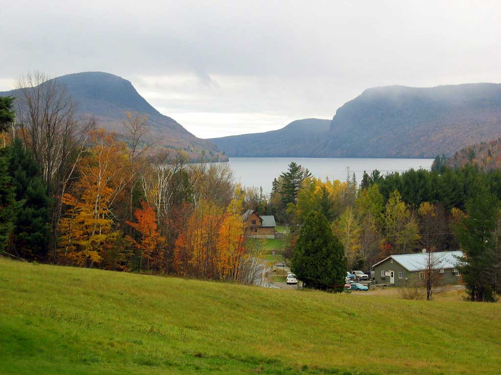
(Photo by King of Hearts / CC BY-SA 4.0)
Route 5A is one of the most striking drives in New England.
The highway hugs the clear, deep waters of Lake Willoughby as it passes directly between two giant rock mountains: Mount Pisgah on the east and Mount Hor on the west.
During late September, the steep cliff walls on both sides explode with bright orange and red maple trees, with leaves reflecting right off the dark blue water.
- South Beach Pull-Off: Stop at the public beach at the south end of the lake. It gives you an open, straight-on view looking north through the mountain gap.
- Roadside Lookouts: There are small gravel pull-offs directly on Route 5A where you can safely park and take photos of the cliffs.
2. Mount Pisgah Overlook (Quick Hiking Option)
You don’t have to hike the whole mountain to get great views. The South Trailhead for Mount Pisgah sits right off Route 5A.
If you hike up just 1 mile to the first rock ledge, you get a clean view looking hundreds of feet straight down into the lake and across to Mount Hor.
If you prefer to stay in your car, the lake views from the road are just as scenic.
3. Darling Hill Road in East Burke
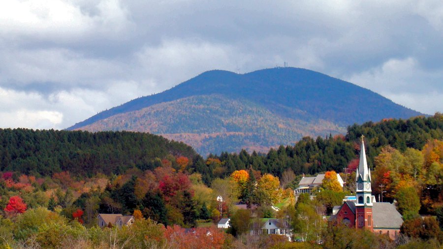
(Photo by From the nek / CC BY-SA 3.0)
Just south of Lake Willoughby sits the tiny outdoor sports town of East Burke. From town, take a detour onto Darling Hill Road.
This high ridge road offers sweeping 360-degree views of classic Vermont dairy country.
You will pass white clapboard farmhouses, stone walls, and wide pastures with the Burke Mountain ski slopes covered in bright red leaves in the background. It is paved, quiet, and one of the best rural road photo spots in northern Vermont.
4. Crystal Lake State Park (Barton)
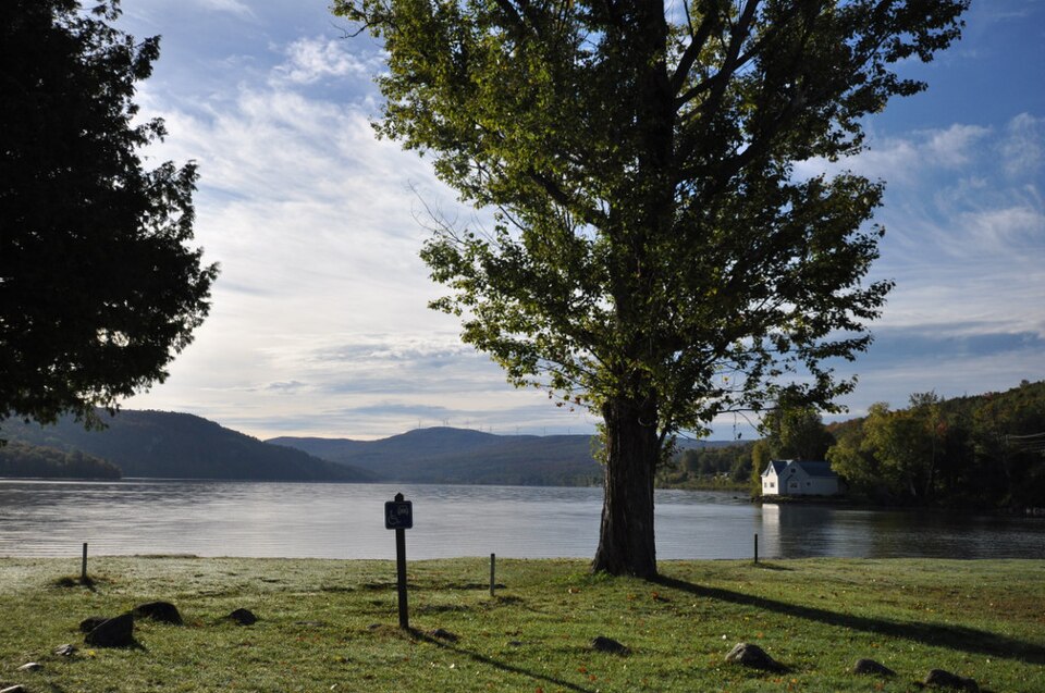
(Photo by Magicpiano / CC BY-SA 4.0)
Just 15 minutes west of Lake Willoughby along Route 16 is Crystal Lake.
It is quieter and less dramatic than Willoughby, but the historic granite beach house and calm shoreline make it an easy, peaceful spot to stretch your legs, have a packed lunch, and take in the colorful mountain reflections on the water.
Simple 1-Day Northeast Kingdom Trip
You can easily explore this region on a relaxed day trip:
Northeast Kingdom Travel Tips
Final Thoughts
If you want quiet country lanes, open mountain reflections, and a side of Vermont that feels untouched by tour buses, the Northeast Kingdom is well worth the drive north.
Time your trip for late September, keep an eye on the fuel gauge, and take your time winding along the shores of Lake Willoughby.
Frequently Asked Questions
When do the fall colors peak in the Northeast Kingdom?
Because the Northeast Kingdom sits so far north, peak fall color arrives earlier than the rest of Vermont. Colors usually peak between the last week of September and the first few days of October. By the time central towns like Stowe or Woodstock peak in mid-October, the trees up here are often past peak.
Is Lake Willoughby worth the drive from Stowe or Burlington?
Yes. The view of Route 5A cutting between Mount Pisgah and Mount Hor looks like a Norwegian fjord. It offers a dramatic landscape you won’t find anywhere else in Vermont, and the area is far less crowded than the popular resort towns down south. The drive takes under two hours from either Stowe or Burlington.
Where should I stay when visiting the Northeast Kingdom?
East Burke and Lyndonville are the most convenient base towns for leaf peepers. They offer local inns, quick access to Kingdom Trails, and sit just 20 to 25 minutes south of Lake Willoughby. If you want a larger lakeside town with more dining options, Newport is a solid choice just north on Lake Memphremagog.
Do I need a four-wheel-drive car for this road trip?
No. Route 5A, Route 5, Route 16, and Darling Hill Road are all well-maintained paved highways. You only need to be cautious if you choose to explore unpaved seasonal dirt lanes deeper in the woods, but regular passenger cars can easily handle all the main stops on this route.