12 Best Stops on a Vermont Covered Bridges Driving Route (With Map)
Vermont is home to over 100 historic covered bridges. That is the highest concentration of covered bridges per square mile in the United States.
Builders originally roofed these timber spans in the 1800s to protect the wooden trusses from rain, snow, and rot.
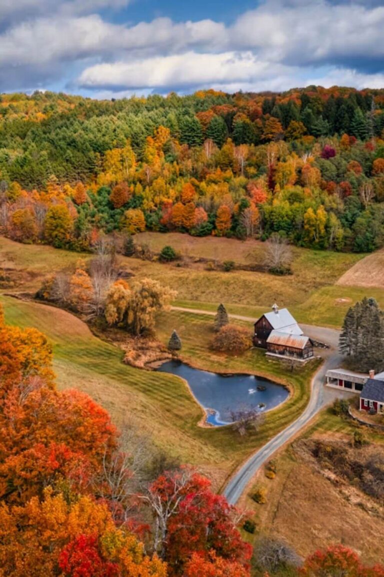
Today, they stand as timeless symbols of New England backroads. In the fall, red timber frames surrounded by bright yellow and orange leaves make them incredible photo stops.
This driving guide organizes the most scenic covered bridges into an easy route from north to south.
You will find bridge locations, clear parking tips, and a simple route map to guide your drive.
| Region | Key Bridges | Best Base Town |
|---|---|---|
| Northern Vermont | Emily’s Bridge (Gold Brook), Foster Bridge | Stowe |
| Mad River Valley | Great Eddy Bridge, Pine Brook Bridge | Waitsfield |
| Ottauquechee Valley | Middle Covered Bridge, Taftsville Bridge | Woodstock |
| Southern Vermont | Silk Road Bridge, Henry Bridge, Chiselville Bridge | Bennington / Manchester |
Route Map: Complete Vermont Covered Bridges Tour
Vermont Covered Bridges Route Map: North to South
Part 1: Northern Bridges Around Stowe
The area around Stowe and Lamoille County features some of the most easily accessible bridges in the state.
1. Gold Brook Covered Bridge (Emily’s Bridge)
- Location: Covered Bridge Road, Stowe
- Built: 1844
- Style: Howe truss
Gold Brook Covered Bridge sits just two miles south of Stowe Village. Most locals call it Emily’s Bridge due to a well-known local ghost legend.
The structure features classic weathered gray siding and spans Gold Brook with a single lane. There is a small dirt pull-off on the south side where you can safely park.
For the best photo angle, walk down the short path on the east bank. Morning light hits the portal opening and illuminates the brook below.
2. Foster Covered Bridge
- Location: Notchbrook Road, Stowe
- Built: 1983 (replica)
- Style: Stringer truss
Located along the road leading up toward Smugglers’ Notch, Foster Bridge provides an authentic wooden look in a mountain setting.
A quiet footway on one side lets you walk across safely. Thick pine and maple trees hug both ends of the bridge, making it an easy five-minute stop on your way into the notch.
Part 2: Central Vermont & Mad River Valley Bridges
Driving south along Route 100 brings you into the Mad River Valley. This area is known for preserved farming villages, rushing river holes, and classic wooden spans.
3. Great Eddy Covered Bridge (Big Eddy Bridge)
- Location: Bridge Street, Waitsfield
- Built: 1833
- Style: Burr arch truss
Great Eddy Bridge is the oldest operating covered bridge in the Mad River Valley. It carries local village traffic right across the Mad River into historic Waitsfield.
The bridge features dark red vertical timber siding and a separate pedestrian walkway. You can park in the small village lot just east of the bridge.
Walk down to the riverbank trail below the structure. From the water level, you get a clean view of the stone abutments, the swirling river pool beneath, and the village shops up on Bridge Street.
4. Pine Brook Covered Bridge
- Location: North Road, Waitsfield
- Built: 1855
- Style: Kingpost truss
Tucked away on a quiet dirt road north of the village, Pine Brook Covered Bridge offers a peaceful, rural setting away from highway traffic.
This single-span bridge is painted weathered red with open window slats along the sides. It crosses a rocky brook surrounded by thick stands of hemlocks and sugar maples.
Park completely clear of the travel lane on the wide dirt shoulder along North Road. Late morning is the best time to visit, when sunlight filters down through the tree canopy and lights up the brook.
5. Warren Covered Bridge
- Location: Covered Bridge Road, Warren
- Built: 1880
- Style: Queenpost truss
Sitting directly off Route 100 in Warren Village, this bridge spans the rocky gorge of the Mad River right next to the Warren Store.
The bridge features an exposed natural timber frame with open eaves that let in daylight. Below the bridge, the river cuts through granite ledges and deep water pools.
Park across the street at the country store. Pick up a hot cider or fresh baked lunch, then walk across the timber roadway to view the falls tumbling beneath the wooden floorboards.
Part 3: Woodstock & Ottauquechee Valley Bridges
Heading southeast along Route 4 brings you into the Ottauquechee River valley. Woodstock and its neighboring hamlets hold some of the best-maintained timber bridges in New England.
6. Middle Covered Bridge
- Location: Mountain Avenue, Woodstock
- Built: 1969
- Style: Town lattice truss
Middle Covered Bridge sits directly off the Woodstock Village Green. While built in 1969 to replace an older damaged bridge, it was constructed using traditional mortise-and-tenon joinery.
The bridge features a separate sidewalk alongside the single vehicle lane. This lets you cross the Ottauquechee River safely on foot.
Park along the village green or in the municipal lots downtown. Stand on the nearby iron footbridge downstream for a classic photo of the timber portal framed by Mount Tom.
7. Taftsville Covered Bridge
- Location: River Road & Route 4, Taftsville
- Built: 1836
- Style: Queenpost with Burr arch
Taftsville Covered Bridge is one of the oldest and longest continuous spans in Vermont. It stretches 189 feet across a wide, churning section of the Ottauquechee River.
The bridge stands out for its bold red paint and unusual combination of timber arches with Queenpost framing. An old brick hydro mill and stone dam sit right next to the northern portal.
Use the gravel pull-off near the northern bank on River Road. The rocky ledges below give you a clear shot of the rushing water and the red side walls.
8. Lincoln Covered Bridge
- Location: Fletcher Schoolhouse Road, West Woodstock
- Built: 1877
- Style: Pratt truss
Located three miles west of Woodstock village, the Lincoln Covered Bridge crosses the Ottauquechee River along a quiet country road.
It is unique as the only known wooden Pratt truss bridge surviving in the United States. Instead of dense timber lattice, the sides are relatively open, letting light stream through the frame.
There is a small dirt turnout just before the southern entrance. Morning is the best time for photos, when light hits the wooden beams and reflects off the calm water upstream.
Part 4: Southern Vermont Bridges Around Bennington & Arlington
The southwest corner of Vermont holds some of the state’s most photographed historic spans. The rolling valley hills and open farmland make driving between them easy and scenic.
9. Silk Road Covered Bridge
- Location: Silk Road, Bennington
- Built: 1840
- Style: Town lattice truss
Silk Road Bridge is the northernmost of three historic covered bridges along the Walloomsac River. It sits in a quiet hollow just outside downtown Bennington.
The bridge features weathered red timber siding and heavy hand-hewn oak treenails holding the lattice together.
Park on the wide gravel shoulder along the north approach. Walk down the short dirt path to the river’s edge for a straight view through the tunnel-like interior.
10. Paper Mill Village Covered Bridge
- Location: Murphy Road, Bennington
- Built: 1889
- Style: Town lattice truss
Located only two miles downstream from Silk Road, this bridge replaced an older 18th-century span that served an active paper mill.
The bridge crosses just above a wide stone weir and cascading pool. Sunlight reflecting off the churning white water creates great photography conditions in early morning.
Use the marked parking area near the former mill site. You can walk right out onto the rocky shoreline to frame the red bridge against the rushing dam.
11. Henry Covered Bridge
- Location: River Road, North Bennington
- Built: 1840
- Style: Town lattice truss
Henry Bridge is the third bridge spanning the Walloomsac River in this cluster. It borders open hayfields and sits next to the historic Henry House estate.
The structure is painted bright red with white portal trim. It rests on sturdy stone abutments that have stood for nearly two centuries.
A public park area on the south side provides ample parking and easy walking access. It is an ideal spot to stop for a tailgate lunch or stretch your legs along the riverbank.
12. Chiselville Covered Bridge
- Location: Sunderland Hill Road, Arlington
- Built: 1870
- Style: Town lattice truss
Sitting twelve miles north of Bennington near Arlington, Chiselville Bridge spans the Roaring Branch brook from an impressive height.
The roadbed sits 40 feet above the rocky stream canyon. A famous vintage sign above the entrance reads: “One dollar fine for driveing any horse faster than a walk on this bridge.”
Park safely in the gravel turnout at the top of the southern hill. The best perspective is looking down into the ravine, where bright autumn leaves frame the high timber supports.
Plan Your Visit: Driving Tips & Photo Etiquette
Exploring covered bridges requires driving narrow rural roads and historic single-lane structures. Keep these practical tips in mind while planning your route.
Bridge Etiquette and Road Rules
One Vehicle at a Time
Nearly all historic covered bridges are single-lane structures. Always yield to oncoming traffic already entering the bridge portal. Come to a complete stop, confirm the lane is clear, and drive across slowly.
Weight and Height Limits
Historic timber spans have strict low-clearance heights and weight restrictions. If you are driving an RV, pulling a camper, or carrying tall roof gear, verify clearance signs posted above the portals before crossing.
Safe Parking Off the Road
Never stop or park your car inside a covered bridge or in front of an entrance portal. Park completely off the roadway on gravel shoulders or designated pulloffs so local vehicles can pass without obstruction.
Photography Tips
Best Lighting Times
Early morning and late afternoon offer the best lighting for timber bridges. Midday sun creates harsh shadows under the roof eaves and blows out bright sky reflections on the water.
Step Down to the Riverbanks
The most striking photo angles are rarely shot from the middle of the road. Look for worn dirt footpaths leading down to the riverbank. Framing the bridge from below captures the stone abutments, the wooden trusses, and the water reflections.
FAQs
Can you drive through every bridge on this list?
Yes, all bridges listed on this route carry active, licensed public vehicle traffic. Drive slowly, watch for pedestrians walking through, and respect posted weight restrictions.
How long does this entire covered bridge route take?
Driving the full corridor from Stowe down to Bennington non-stop takes about four hours. To explore the riverbeds, take photos, and stop for lunch in towns like Waitsfield or Woodstock, budget a full day or split the route into a two-day weekend road trip.
What is the best season for a covered bridge tour?
Early to mid-October is peak season, when Vermont’s sugar maples turn fiery shades of orange and red against the rustic wooden siding. Spring and summer offer lush greenery and rushing river cascades, while winter provides classic snowy scenes along plowed country roads.
A covered bridge drive gets you off commercial highways and onto the slow, quiet backroads that make Vermont unique. Keep an eye out for clearance signs, pull over safely along the shoulders, and take your time crossing these historic timber landmarks.